IMMERSIVE
COMMAND
Katana IoTwin delivers geolocated 3D digital twins with integrated drone mission command, autonomous flights control and real-time IoT connectivity. Sharp, fast, and uncompromising.
Millimeter-precise digital twins of any terrain or structure.
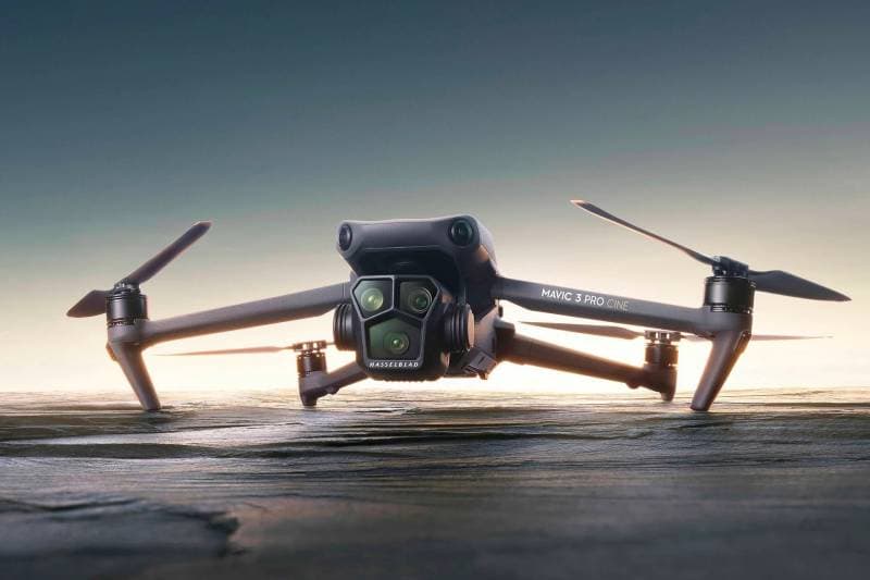
Autonomous drone fleet management with real-time telemetry.
Seamless sensor integration for live operational awareness.
The Ecosystem
Unified Intelligence
Across Dimensions
Katana bridges the gap between the physical and digital worlds, providing a single source of truth for your most critical operations.
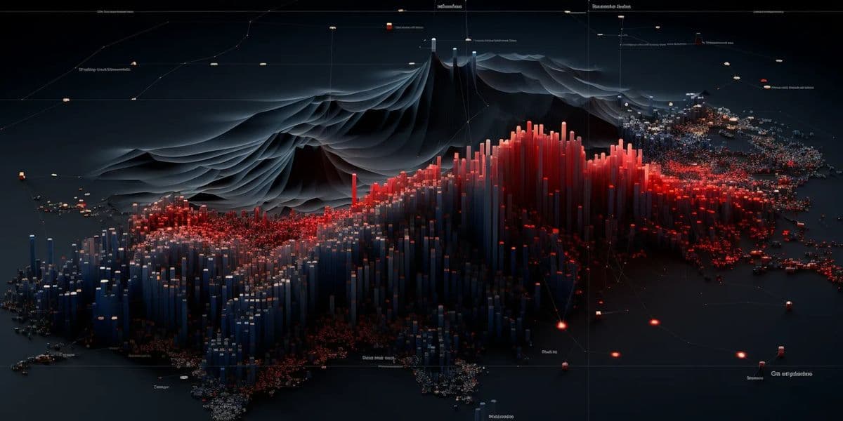
3D Digital Twins
High-fidelity, geolocated replicas of your physical assets for real-time monitoring and simulation.
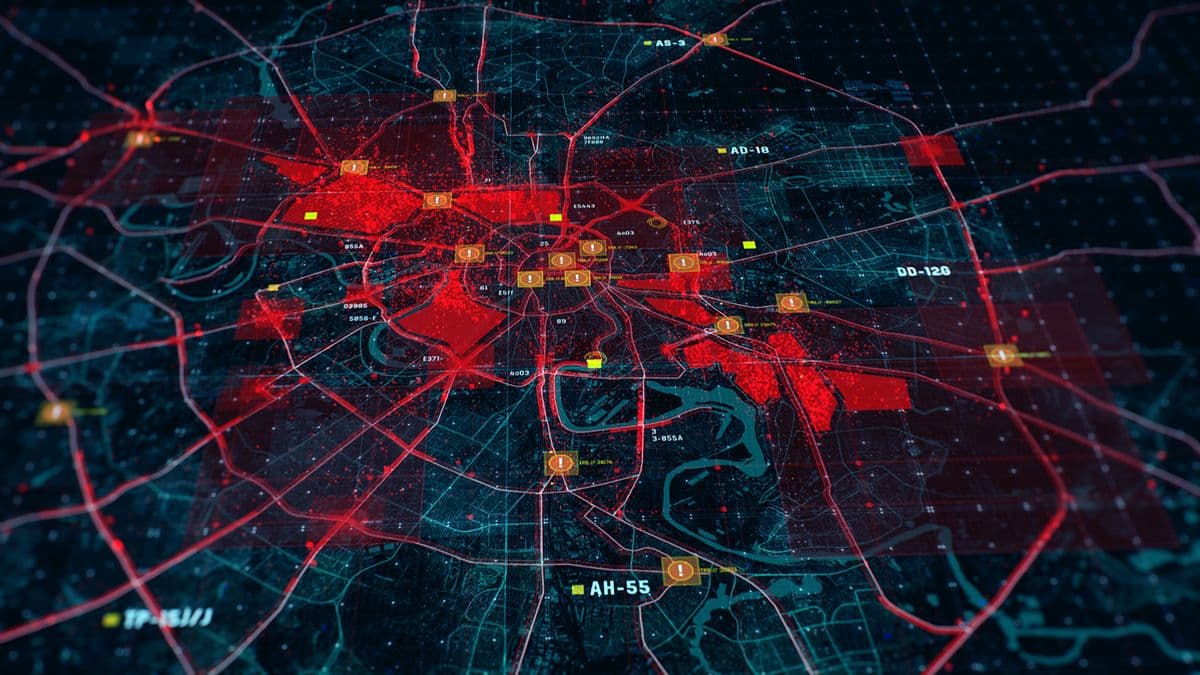
Sky Command
Autonomous mission planning and real-time aerial data acquisition from a unified dashboard.
IoT Connectivity
Seamless integration of sensor networks and infrastructure for data-driven decision making.
// ARCHITECTURE_STACK //
How it
Works.
LAYER_01
3D MAP GENERATION
Transform any location on earth into a high-fidelity 3D map with a global coordinate system and the precise area where the digital twin is located.
MEET
MIYAMOTO.
The end of dashboards. Miyamoto is your autonomous digital commander. Speak, text, or let it automate. Your platform is now a conversation.
OMNICHANNEL
Control your entire infrastructure via WhatsApp, Signal, or Slack.
AUTO_FLOW
Set objectives once. Miyamoto handles the execution and only asks for permission.
SECURE_EXEC
Military-grade encryption on every automated decision path.
NEURAL_SYNC
Learns your operational patterns to predict and prevent failures.

Capabilities
Forged for
The Modern Enterprise
Geospatial Visualization
Immersive 3D environments with sub-meter accuracy. Visualize terrain, infrastructure, and assets in a unified global coordinate system.
- REALTIME_SYNC
- AI_ANALYTICS
- SECURE_NODE
Assets Management
Lifecycle tracking for every component. From heavy machinery to micro-sensors, manage everything with precise digital twin synchronization.
- REALTIME_SYNC
- AI_ANALYTICS
- SECURE_NODE

Drone Missions & Services
Command the sky. Schedule autonomous flights, monitor real-time telemetry, and process aerial imagery directly within the Katana cloud.
- REALTIME_SYNC
- AI_ANALYTICS
- SECURE_NODE
3D Buildings & Asset Twins
BIM-integrated digital twins. Go beyond the envelope with interior mapping, HVAC monitoring, and structural health analysis.
- REALTIME_SYNC
- AI_ANALYTICS
- SECURE_NODE

IoT Infrastructure Management
Connect the dots. Orchestrate massive sensor networks with low-latency data pipelines and automated incident response.
- REALTIME_SYNC
- AI_ANALYTICS
- SECURE_NODE

Verticals
Proven in the
Field of Action

Smart Cities
Urban planning and infrastructure management with real-time digital twin synchronization.

Industrial Ops
Optimize manufacturing floors and logistics with IoT-enabled asset tracking.

Construction
Monitor site progress with autonomous drone surveys and BIM integration.

Energy & Utilities
Predictive maintenance for power grids and remote infrastructure monitoring.

Public Safety
Enhanced situational awareness for emergency response and large-scale events.

Environmental
Track ecosystem changes and climate impact with high-resolution geospatial data.
Contact
Ready to
Take Command?
Speak with our mission specialists to design a solution tailored to your enterprise needs.
EMAIL_COMMS
rabih@katanatech.io
VOICE_LINK
+1 (888) KATANA-0
NODE_LOC
Tokyo | San Francisco